Underground Coal Gasification Licence 0573 Durham (20th Feb 2014) - 2 adjoining Licences
- Durham North From shoreline Leechmear Industrial Estate down to shoreline of Easington Colliery
- Durham South Shoreline of Easing Colliery running south to shoreline of Hartepool
Maps With the Co-Ordinates for the two UCG licenses below
- 1st map shows grid coordinates for both adjoining licences - from shorelines going out into the North Sea
- 2nd map shows close up map of Durham North UCG license : shoreline coordinates from Leechmear Industrial Estate down to shoreline of Easington Colliery
- 3rd map shows close up map of Durham Sourth UCG license : shorline coordinates from Easington Colliery to shoreline of Hartlepool
Easington Colliery is the joining point for both UCG Licenses
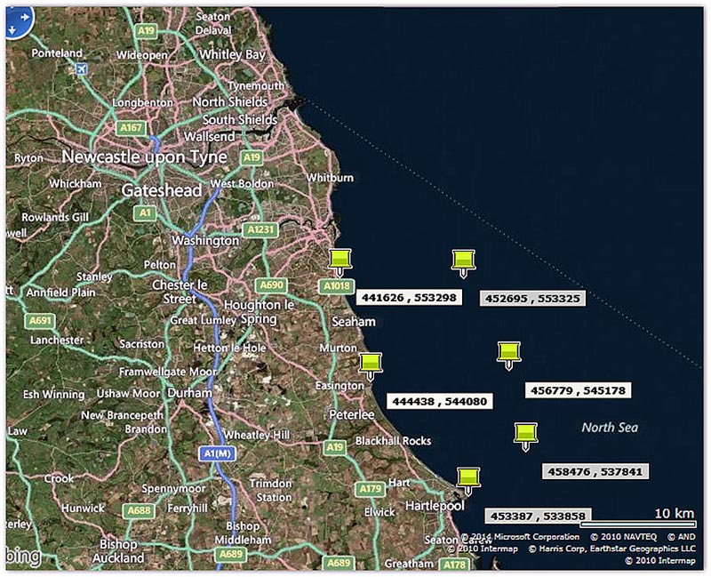
Grid coordinates for both adjoining licences - from shorelines going out into the North Sea
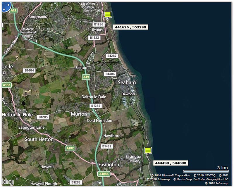
Close up map of Durham North UCG license :
shoreline coordinates from Leechmear Industrial Estate down to shoreline of Easington Colliery
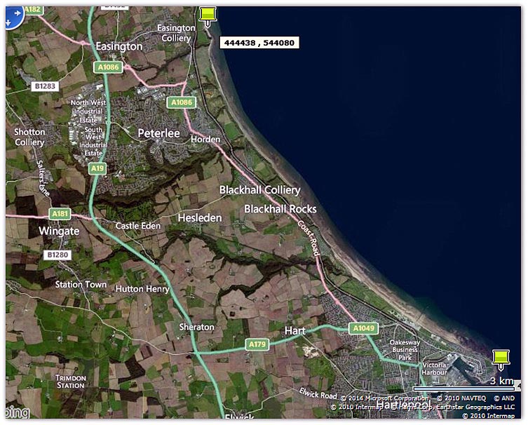
Map shows close up map of Durham Sourth UCG license
shorline coordinates from Easington Colliery to shoreline of Hartlepool
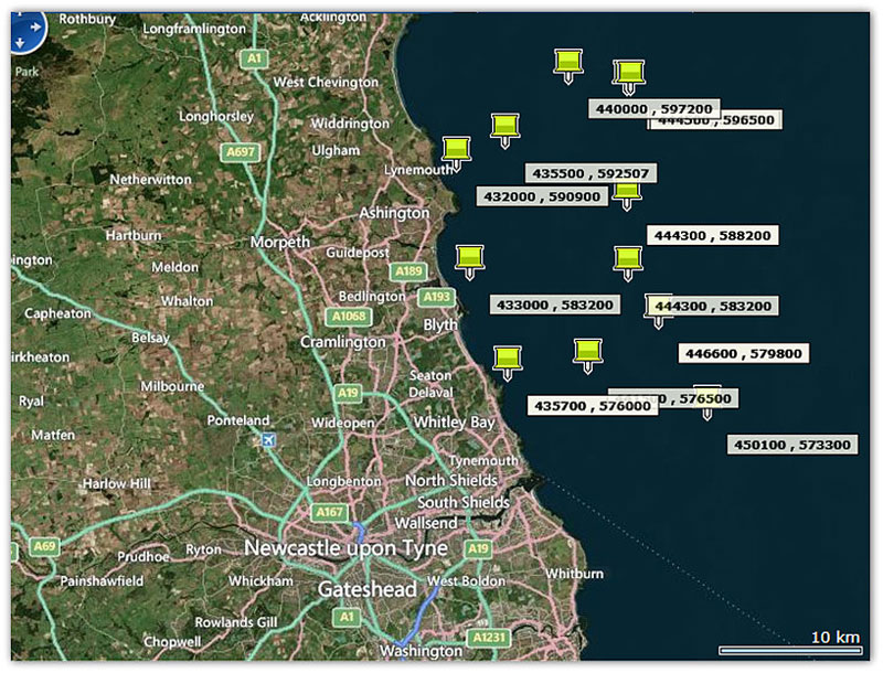
Map shows how the 4 licenses plot
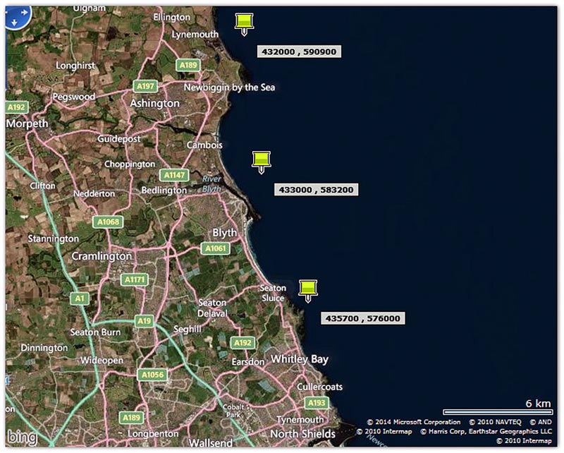
Shoreline affected by the 4 licenses -
Notice the River Blyth right in the middle – if this is a tidal river – it could be contaminated with this license area being so close to shore
|


